- Ukraine
- Ongoing since November 2023
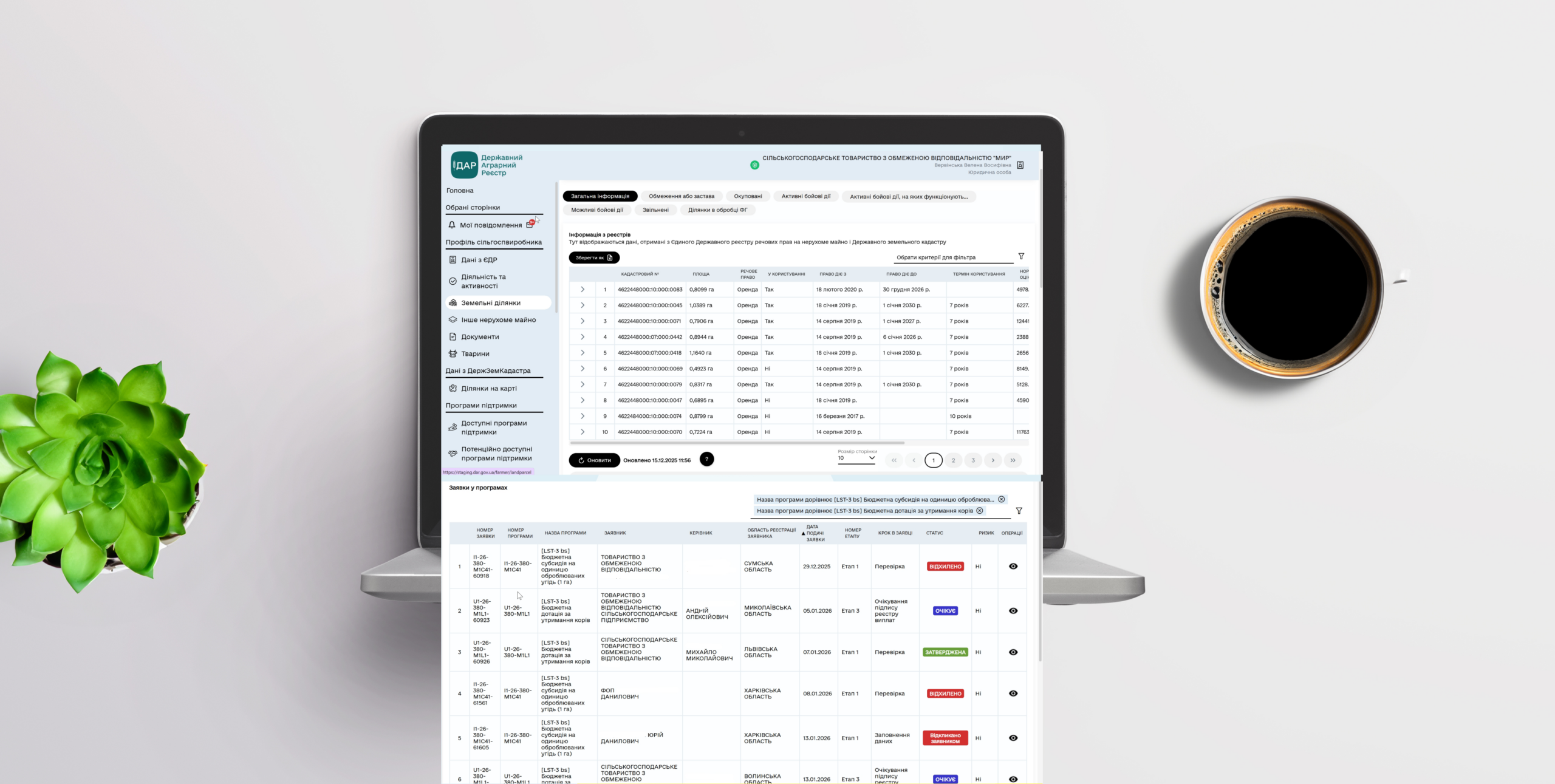
Cows and Hectars
A module within the State Agrarian Registry designed for submitting applications for state support for agricultural producers engaged in cattle farming and land cultivation. The solution combines mapping tools, automated validations, flexible program configuration, and efficient workflows for both operators and farmers.
- Agritech, GIS
- https://www.dar.gov.ua/


Do you want a similar project?

An intelligent platform designed to manage a distributed network of security cameras.
The solution combines a map interface, technical camera parameters, and live video streams in a single environment, enabling operators to quickly assess situations, monitor system health, and make decisions in real time.
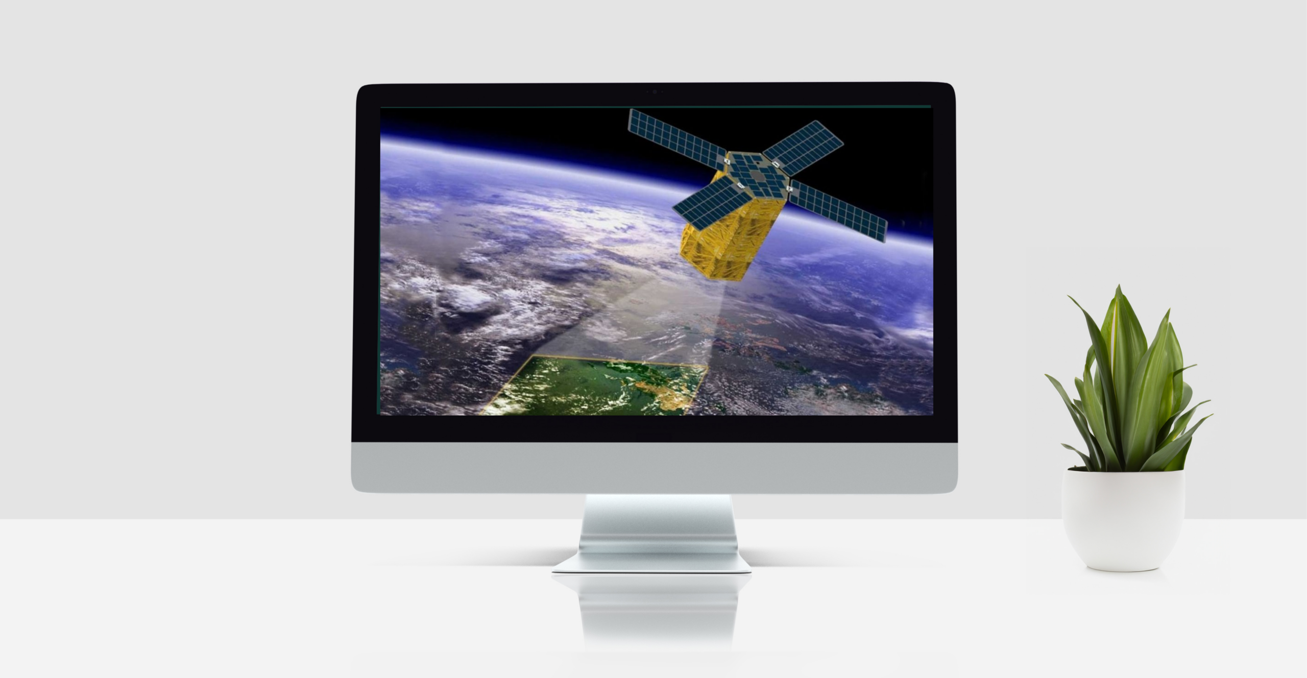
A comprehensive web service for analyzing land-use patterns in Ukraine using Sentinel satellite data. The system identifies crop types, detects discrepancies between satellite imagery and official parcel boundaries, and generates multi-year land-use records to support agricultural monitoring and improve financial access for smallholder farmers.

A module integrated into the State Agrarian Registry that provides a transparent and standardized process for verifying agricultural exporters. The solution allows companies to submit verification requests, track their status, and access up-to-date verification results. It is designed to reduce administrative workload, increase process transparency, and ensure that government authorities can quickly access accurate and verified exporter information.