- Ukraine
- Ongoing since June 2021
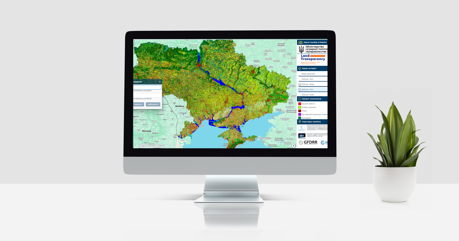
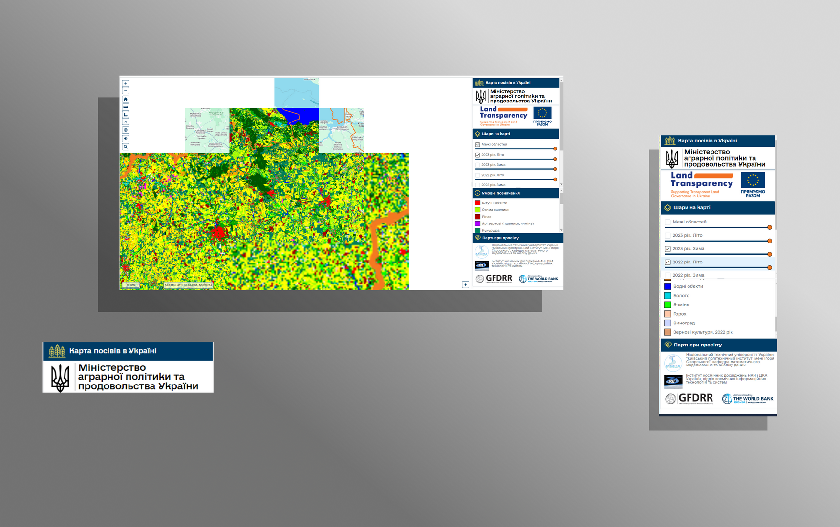
Crop Maps Ukraine
A platform that visualizes agricultural crops and land parcels across different years. It enables users to analyze changes in crop structure, compare spatial datasets, and observe long-term land-use trends across Ukraine.


Do you want a similar project?
An intelligent platform designed to manage a distributed network of security cameras.
The solution combines a map interface, technical camera parameters, and live video streams in a single environment, enabling operators to quickly assess situations, monitor system health, and make decisions in real time.
A comprehensive web service for analyzing agricultural land use patterns in Ukraine using satellite data. The system identifies crop types, tracks land discrepancies between satellite imagery and official records, and provides analytical tools for agricultural monitoring and financial access improvement for smallholder farms.

A module integrated into the State Agrarian Registry that provides a transparent and standardized process for verifying agricultural exporters. The solution allows companies to submit verification requests, track their status, and access up-to-date verification results. It is designed to reduce administrative workload, increase process transparency, and ensure that government authorities can quickly access accurate and verified exporter information.