- Ukraine
- Ongoing since March 2025
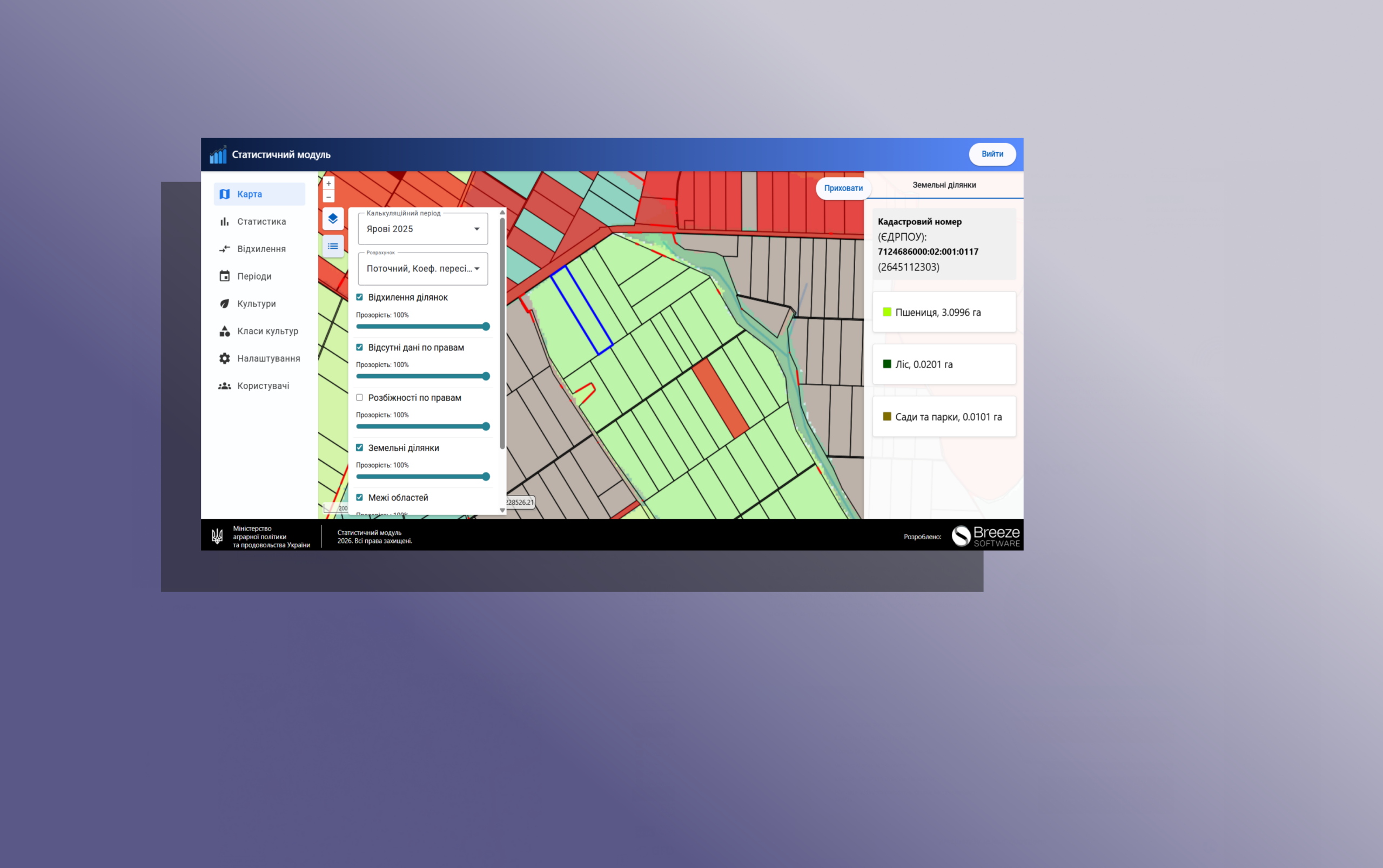
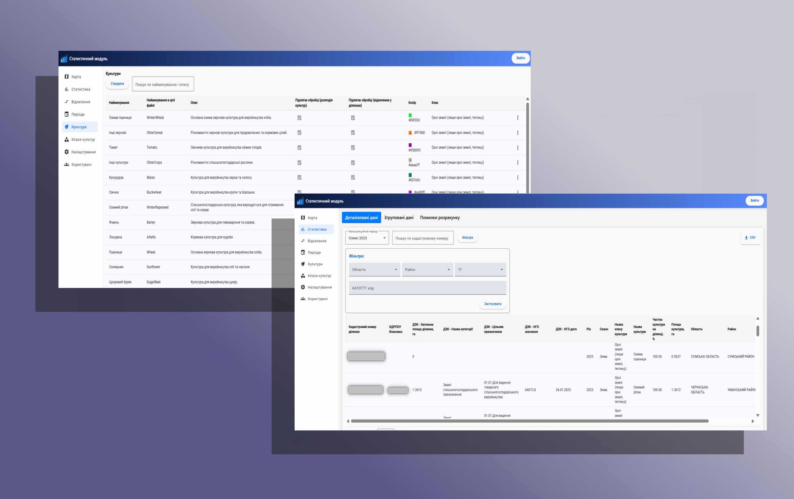
Statistical Module
A comprehensive web service for analyzing land-use patterns in Ukraine using Sentinel satellite data. The system identifies crop types, detects discrepancies between satellite imagery and official parcel boundaries, and generates multi-year land-use records to support agricultural monitoring and improve financial access for smallholder farmers.
- Agritech, GIS


Do you want a similar project?

An intelligent platform designed to manage a distributed network of security cameras.
The solution combines a map interface, technical camera parameters, and live video streams in a single environment, enabling operators to quickly assess situations, monitor system health, and make decisions in real time.

A comprehensive web service for analyzing land-use patterns in Ukraine using Sentinel satellite data. The system identifies crop types, detects discrepancies between satellite imagery and official parcel boundaries, and generates multi-year land-use records to support agricultural monitoring and improve financial access for smallholder farmers.

A module integrated into the State Agrarian Registry that provides a transparent and standardized process for verifying agricultural exporters. The solution allows companies to submit verification requests, track their status, and access up-to-date verification results. It is designed to reduce administrative workload, increase process transparency, and ensure that government authorities can quickly access accurate and verified exporter information.